Preserved Remains of the Coley Branch.

Historic remains.
Google Maps satellite view is quite a good way of spotting old railway lines. This was how I first came across the Coley Branch.
There is an odd line of trees curving away from slightly north of Southcote Junction. It appears to end in the middle of nowhere!
A little bit of research reveals the heritage. These trees indeed give away the route of a former railway line. However, most of the last section has become part of the A33, which is why the route seems to stop at a roundabout.
The built-over section covers most of what was a goods yard. There was also a wharf, where transshipments took place with the adjacent River Kennet / Kennet & Avon Canal.
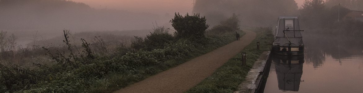
The section of track in today’s photograph was on the extension past the goods yard and wharf. It continued alongside the building, which at the time is shown as a malthouse. Today, of course, it is modern flats. The malthouse was part of Simonds Brewery, sadly long since gone.
The Coley Branch Railway line was built in 1908, and closed in 1983. All that remains now is some walkable trackbed from Southcote Junction to the A33, and this bit of track on the old brewery site in what is now Fobney Street.
Further Reading:
Reading’s Lost Railway
The Central Goods Yard
Simonds Brewery History.
Photograph Details:
- Taken: 14 Sep 2017
- Camera: Olympus OM-D E-M10 MkIIA
- Lens: Olympus 14-42mm 1:3.5-5.6
- Focal Length 14mm
- F/5
- 1/60 Sec
- ISO 200